
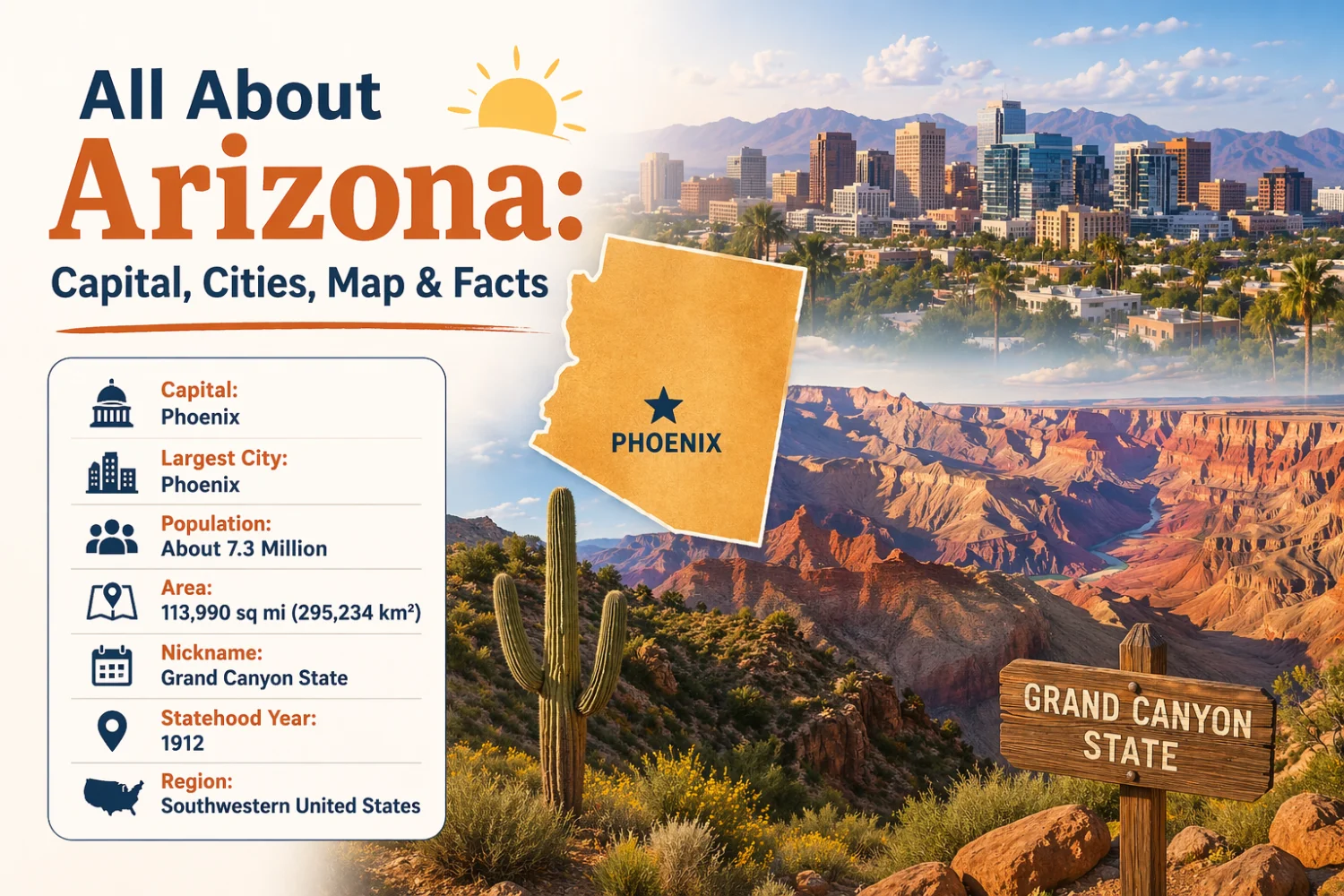
Quick Facts about Arizona
- Capital city: Phoenix
- Largest City: Phoenix
- Population: About 7.3 million (estimate)
- Area: 113,990 sq mi (295,234 km²)
- Nickname: Grand Canyon State
- Statehood Year: 1912
- Region: Southwestern United States
Introduction
Arizona is a U.S. state in the southwestern region known for its dramatic desert landscapes, high plateaus and the Grand Canyon. The state combines significant Native American history, rapid urban growth in its lowland valleys, and extensive federally managed public lands. Arizona’s economy relies on sectors such as mining, manufacturing, tourism and technology, while its environments range from hot Sonoran Desert basins to snow-covered mountain peaks.
Location of Arizona
Arizona is located in the southwestern United States. It occupies part of the country’s western interior and extends to the international border with Mexico.
The state borders California to the west, Nevada to the northwest, Utah to the north, Colorado at a single point in the northeast (the Four Corners), and New Mexico to the east. To the south it shares an international border with the Mexican state of Sonora.
Continue reading “All About Arizona: Capital, Cities, Map & Facts”